| Previous Date | Day By Day Index | 16th OVI Home Page | Next Date |
Where was the regiment on
Monday, August 18, 1862
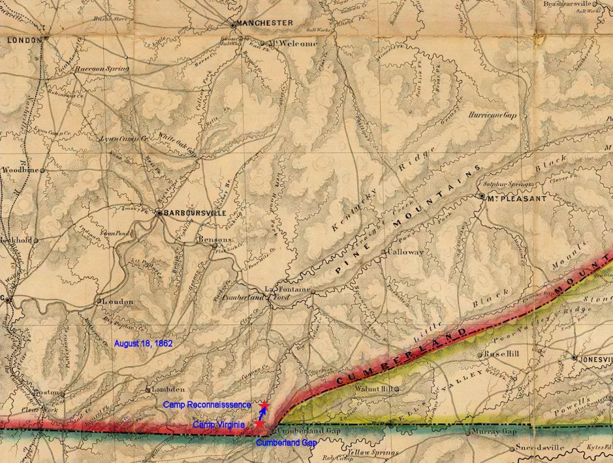
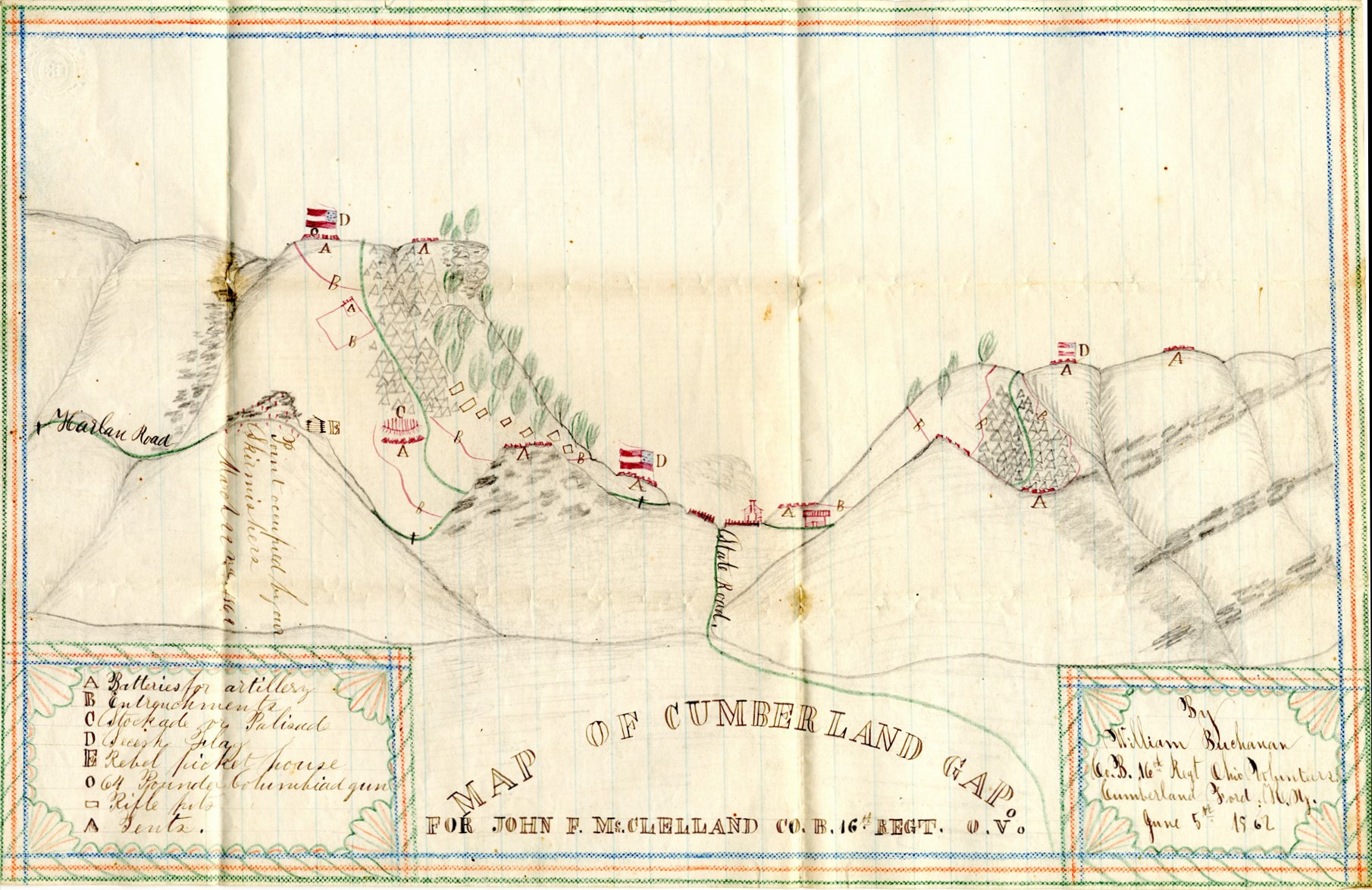
On this day the 16th Ohio moved from Camp Virginia at the northwest entrance to Cumberland Gap and where they had camped since June 27, along the Harlan Road to the top of the Cumberland Mountains, to the north [Various sources indicate three or eight miles]. They named their new camp Camp Reconnaissance. The regiment and DeCourcey's brigade stayed in this camp for 21 days. [According to Private Newt Gorsuch, Company B, this move occurred on August 17]. Union General Morgan, commanding the garrison at Cumberland Gap, knew he was being surrounded by Confederates and sent the 16th, 42nd Ohio and 22nd Kentucky north along the Harlan Road to protect the Gap from any Rebels that approached from that direction. Morgan also conducted numerous, small expeditions in every direction designed to harass and confuse the enemy and keep them from solidifying their positions.
In his series of post-war articles titled "Camp and Field - The Old 16th Ohio", Cpl. Theodore Wolbach, Company E, writes:
The 16th moved up on to the Harlem [Harlan] road and pitched their big Sibley tents on the airy mountain ridge. The water for camp use was brought from a deep gorge that bounded the camp on the south. From morning till night, almost perpetually, someone was coming or going on this steep path; clinging to laurel bushes and trees; taking advantage of everything that offered a foothold, they clambered over this almost perpendicular route for the indispensable liquid that gurgled along its rocky channel in the gloomy depths hundreds of feet below. ...
Our subsistence was narrowed down to quarter rations. There was no need of cesspools for kitchen offal, as nothing was wasted. The flour issued was baked into bread under the superintendence of George Clark, of Co. H.
If the enemy supposed that we were going to sit down within our entrenchments and submit to a regular state of siege they soon learned that they were mistaken. Powerful scouting and foraging parties were out every day. A pioneer corps, with full rations, were strengthening the fortifications. Thus a double object was accomplished. Our troops were kept constantly employed, and the enemy, though vastly outnumbering us, were kept in a state of uncertainty as to our intentions.
Private Peter Perrine, Company C, records the following in his diary:
Moved our camp upon top of the mountains, distant 3 miles. named this Camp Reconnaissance. While here we were surrounded by Kirby Smith's army. Staid in this camp 21 days. had to carry our water 1/2 mile up the mountain. Lived on scant rations and green corn.
| Previous Date | Day By Day Index | 16th OVI Home Page | Next Date |