| Previous Date | Day By Day Index | 16th OVI Home Page | Next Date |
Where was the regiment from
February 28 to March 28, 1862
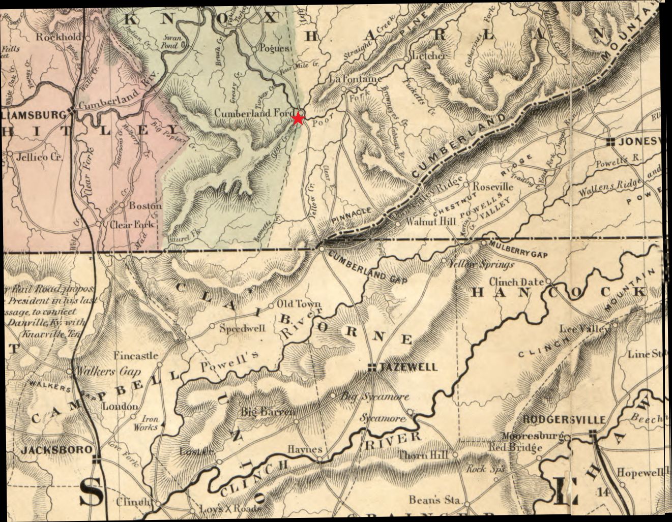
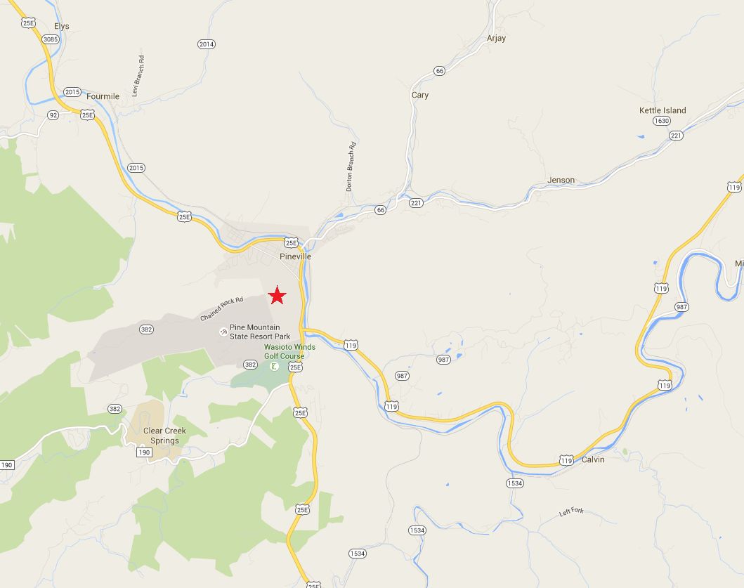
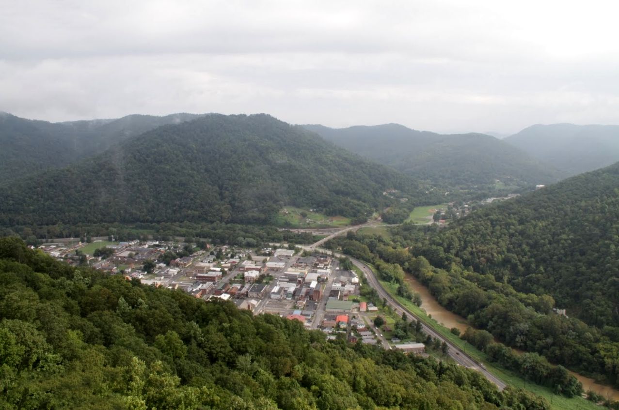
During this time the 16th Ohio made camp on the south or west side of the Cumberland River at Cumberland Ford, Kentucky. It is believed their camp was very close to the ford and on or very near the ground where Pineville, Kentucky now exists. Cpl. Theodore Wolbach describes the regiment's activity during this period:
In a day or two we were as comfortably established as the wet inclement season would permit. Sickness invaded our regiment to an alarming degree. Our hospital was in a brick building at the Ford. ... Here eight of our men died and were buried with the honors of war on an artificial mound in the vicinity. ... Besides drilling and picket duty details were sent out to cut sticks and withes and construct gabions, hurdles and fascines which were used in making a redoubt on the north side of the river at the Ford. At this earthwork Wetmore's 9th Ohio Battery were encamped. Mundy's cavalry were doing out post duty toward the Gap, with the enemy in force fourteen miles distant. It was not unusual for the advanced pickets to exchange a few shots, and on several occasions our regiment was called out by the long roll as some mounted courier dashed with panting steed into headquarters these lively episodes at the front.
The regiment would spend 28 days at this campsite participating in several scouting missions probing the Confederate defenses at and around Cumberland Gap, about 12 miles to the south.
| Previous Date | Day By Day Index | 16th OVI Home Page | Next Date |