| Previous Chickasaw Bayou Battle Image | Chickasaw Bayou Index Page | 16th OVI Home Page | Next Chickasaw Bayou Battle Image |
Modern Day Battlefield Images
The Bruce Schulze Collection
Below are presented photos of the Chickasaw Bayou battlefield sites taken in recent times. See individual descriptions. The web author wishes to thank Bruce Schulze, author of the extensive website CivilWarAlbum.com, for permitting the use of these photos of the battlefield. Photo captions shown in quotations are directly from Mr. Schulze's website to provide clear identification with no deviation, understanding Mr. Schulze is the photographer, researcher and expert on the locations of these places. Thanks again Bruce! Web author's comments are not in quotes.
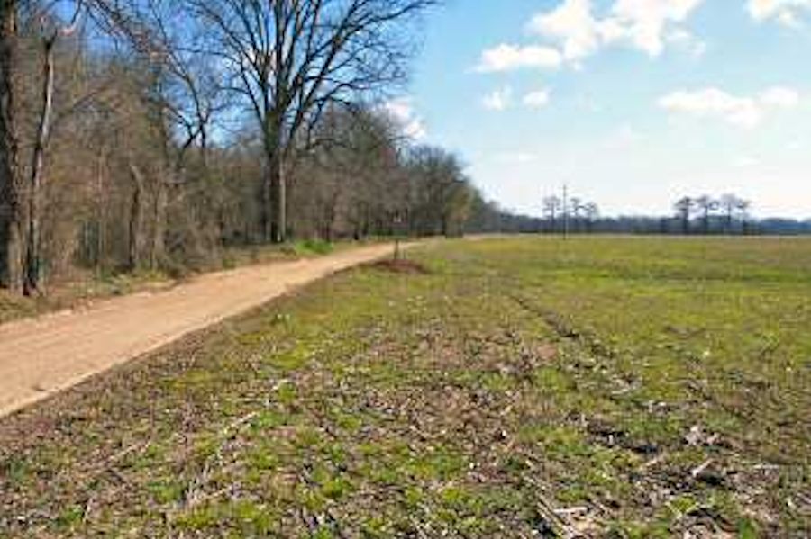
Area where A. J. Smith's division disembarked on Dec. 27, 1862 and bivouacked for the night. View looking east. The road in the picture parallels the Yazoo River which is just beyond the trees at left
. This image shows the general area where Sherman's forces disembarked on December 26 and 27, 1862. It is believed the 16th Ohio (and DeCourcey's brigade) disembarked further upstream, closer to where Chickasaw Bayou enters the Yazoo.
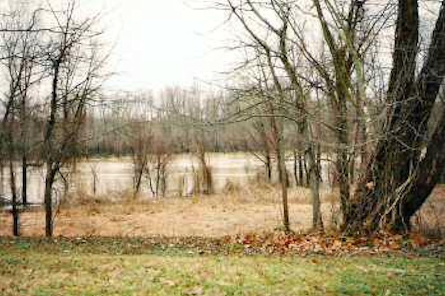
Yazoo River at Capt. W. A. Johnson's plantation site. Gen. Morgan L. Smith's division disembarked here on Dec. 26.
Yazoo River near site where Brig. Gen. George W. Morgan's division (including the 16th Ohio) disembarked on December 26. The view is looking downstream.
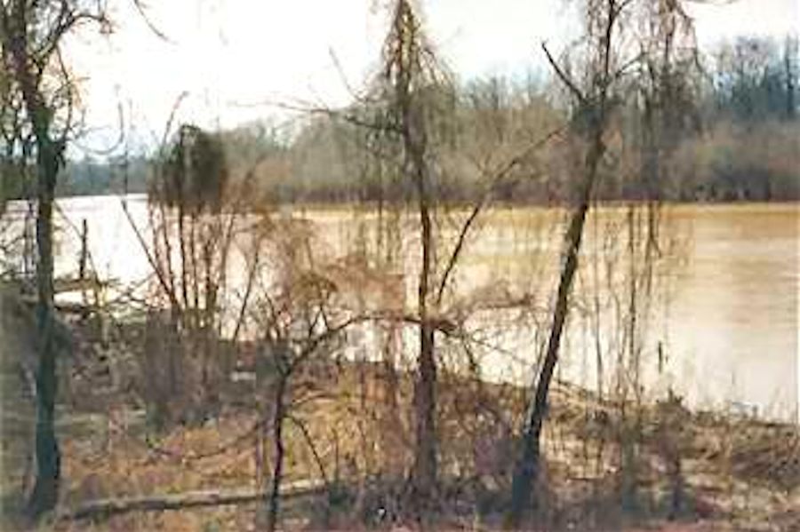
Yazoo River near site where Brig. Gen. George W. Morgan's division (including the 16th Ohio) disembarked on December 26. The view is looking downstream.
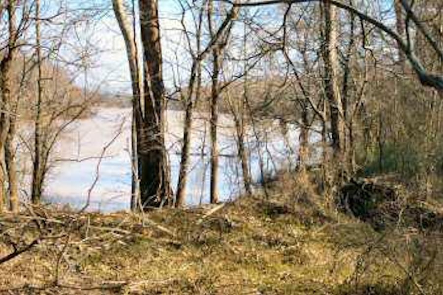
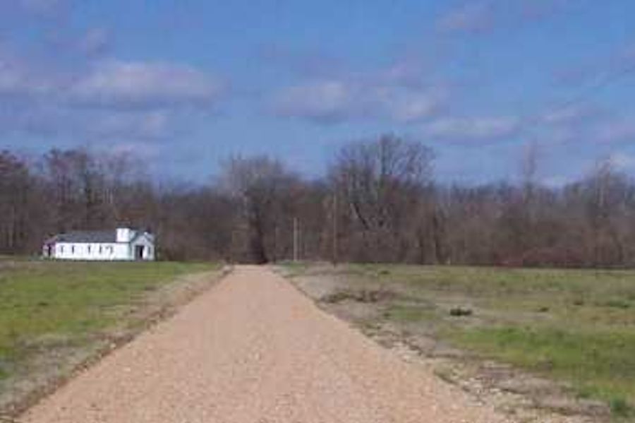
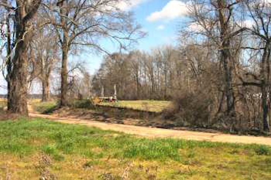
Area where Brig. Gen. George W. Morgan's division disembarked. View is looking north toward the Yazoo River
Panoramic version shown two below.
Brig. Gen. George W. Morgan's landing site (looking toward Yazoo River).
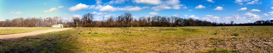
The Chickasaw Bluffs are in the distant background. View looking southeast from approximate camera position in previous photo (above).
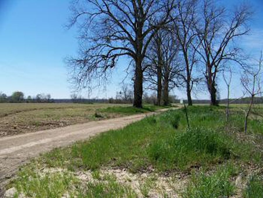
This is generally what the 16th Ohio troops saw as they marched from their boats toward the bluffs over the next several days. Panoramic version shown two below.
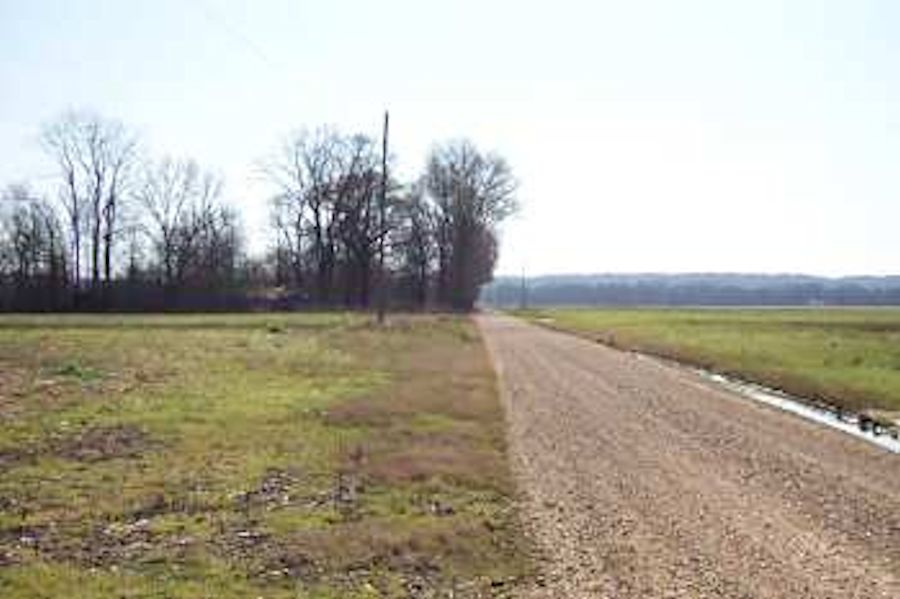
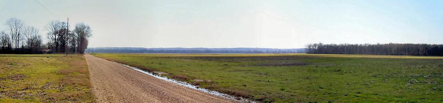
Brig. Gen. George W. Morgan's landing site (looking toward Chickasaw Bluffs).
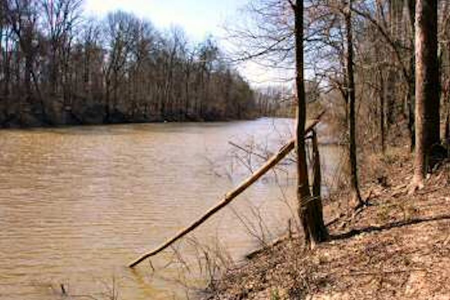
Chickasaw Bayou near the road in (a) previous photo. The view is looking south toward Chickasaw Bluffs.
Note the water level in such bayous changes frequently. It can be assumed that this location is closer to the Yazoo River and that the level would, in general, be less as the bayou approaches the bluffs, all dependent on the season and rains.
Site of Mrs. Lake's cotton gin where Confederates first fired upon advancing Union troops on Dec. 26.
Site of Mrs. Anne E. Lake's plantation house. Sherman established his headquarters here on December 28, 1862
. Direction of view not provided.
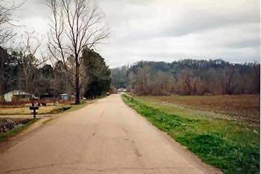
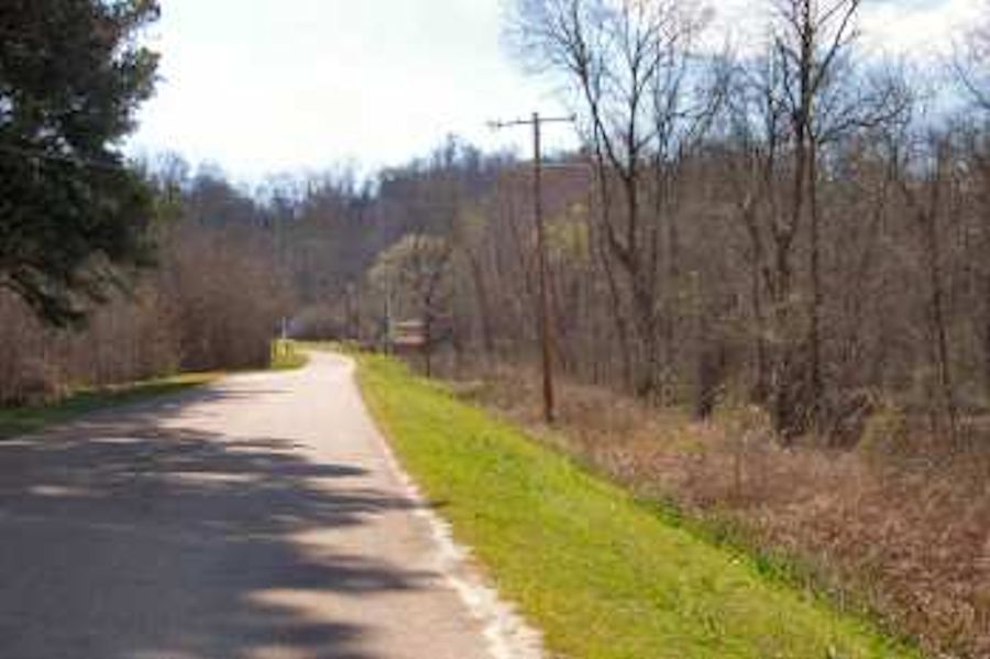
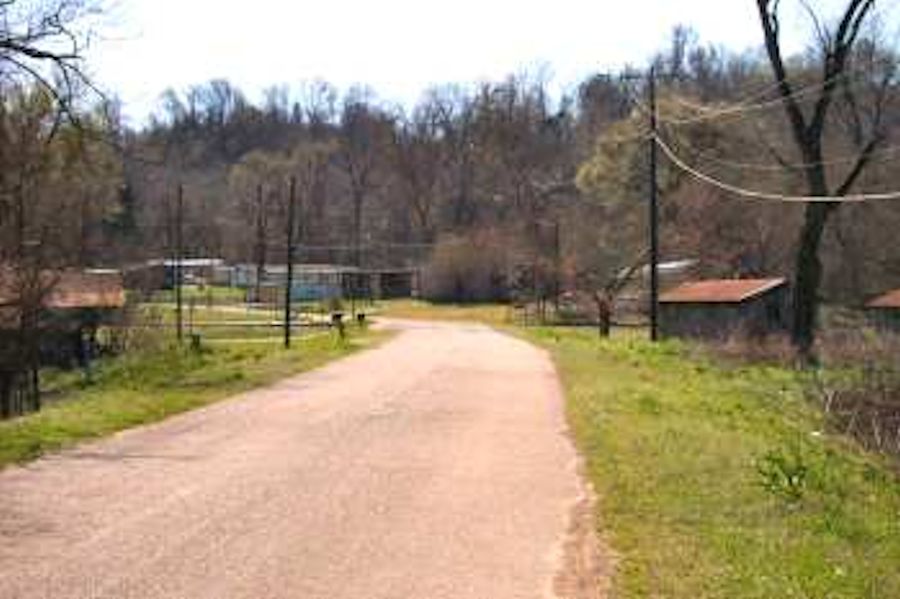
Union Attack Route. At 11:00 a.m. on December 29, Col. DeCourcey deployed his Union brigade in line of battle astride the road near this point. An hour later the brigade moved toward the Chickasaw Bluffs in the background. View is looking east.
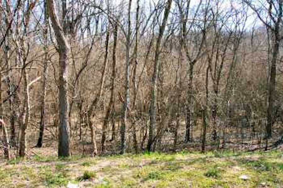
1/4 mi. east of camera position in previous photo. The brigade worked their way through a dense abatis and crossed Chickasaw Bayou, which is just ahead.
A few yards east of camera position in previous photo (above). The dry bed of Chickasaw Bayou can be seen in this picture.
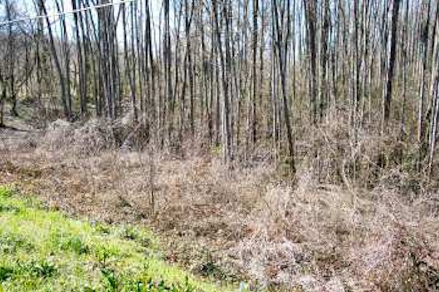
The bayou on the south side of the road.
Col. John F. DeCourcey's assault at Chickasaw Bayou
This is likely the place where DeCourcey's brigade crossed the bayou on the corduroy bridge, then spread out on the other side and became pinned down.
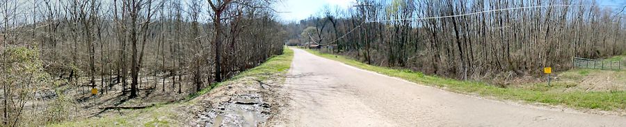
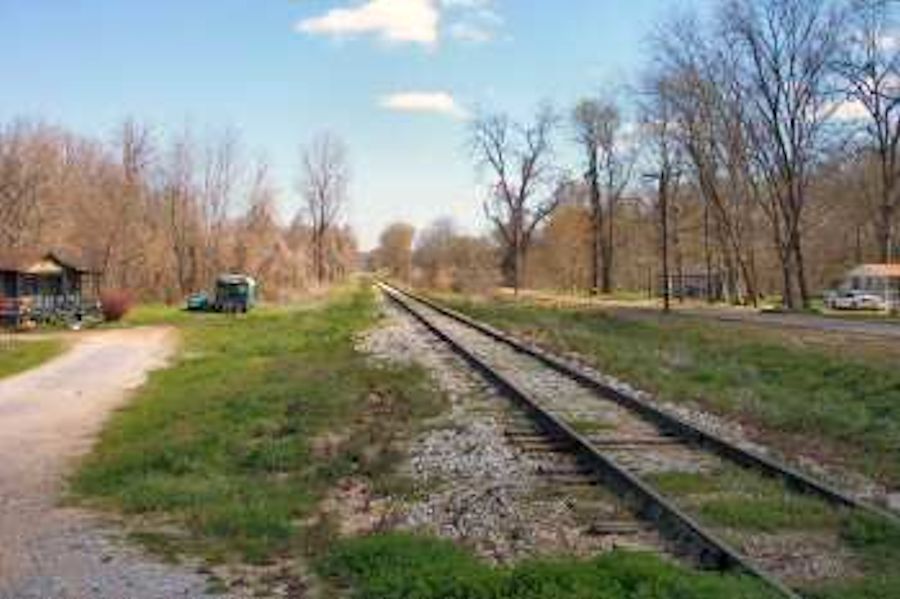
After crossing Chickasaw Bayou, DeCourcey's brigade carried the Confederate advance rifle pits (near the R/R tracks running left to right in center of picture) and moved toward the main defense line. The main Confederate line was near US-61B which runs along the base of Chickasaw Bluffs in the background
. This would be the area where so many of the 16th Ohio and other troops of DeCourcey's brigade fell, many being captured after the Union withdrawal.
The Confederate advance rifle pits were located near the R/R tracks. View is looking north from road in previous picture. The view is also looking across the front of Union General Frank Blair's brigade which assaulted from the left.
| Previous Chickasaw Bayou Battle Image | Chickasaw Bayou Index Page | 16th OVI Home Page | Next Chickasaw Bayou Battle Image |